Linking The Unseen
Rebecca Dillon-Robinson, Diploma, Kingston School of Art, 2016
Tutor: Pierre D’Avoine

Watercolour Concept Sketch
Student’s Project Description
The London Landscape has been adapted and changed by humans for thousands of years, but the natural landscape that they worked with is still evident in London today. Villages grew up around the city like islands, separated by bogs and tributaries, leaving areas for the Thames and its tributaries to flood. Gradually these spaces between places and the spaces between those have been filled in and become the sprawling greater London of today. The natural landscape was contained and the Thames tributaries were canalised or put in sewers whilst the Thames was embanked. However the natural landscape is still there beneath the surface of the modern city.
This thesis seeks to explore one particular “Lost River” or Thames Tributary; Counters Creek, whose source is in Kensal Green Cemetery and flows directly South East to meet the Thames at Battersea Reach. This line forms the Borough Boundary between Kensington and Chelsea and Hammersmith and Fulham. The Creek now flows in a sewer from its source joining into the tangled web of sewers across London.
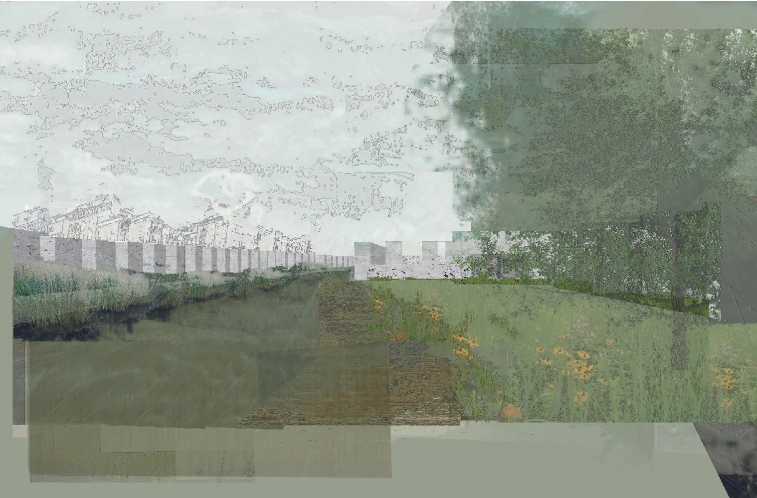
The Thesis proposal is to bring the Creek back to the surface placing it back along a route informed by the known position of the Lost River. Counters Canal will be a navigable link between the Grand Union Canal and the Thames, providing much needed mooring space for London’s ever growing houseboat community. The land will be raised above the tangled web of railway lines now running along the former river bed. Underneath, within the structure, housing, artist’s studios, office spaces, cafes and galleries will bring life and community that bridge the borough boundary.
The ecological influence of Counters Creek that is still found in the interstitial spaces along the route will be transplanted to a linear park running alongside the canal. This will vastly enhance the wildlife corridor from the Thames to West London. Reed bed habitats will form new wetland areas for many different species and bring accessible wildness, connectivity and community to an increasingly isolated and segregated part of London.

Mapping the Thames Basin
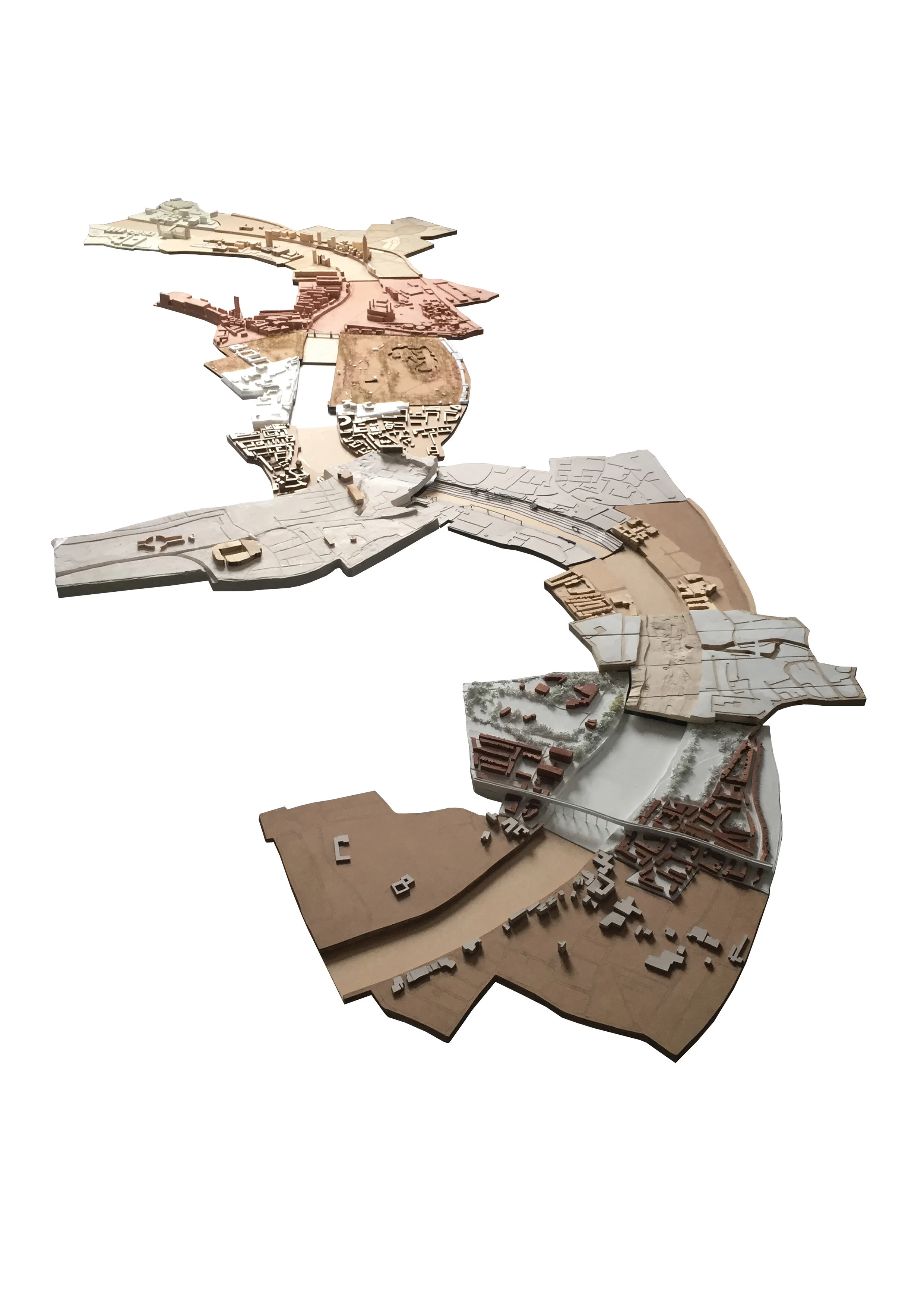
Collaborative Site Model
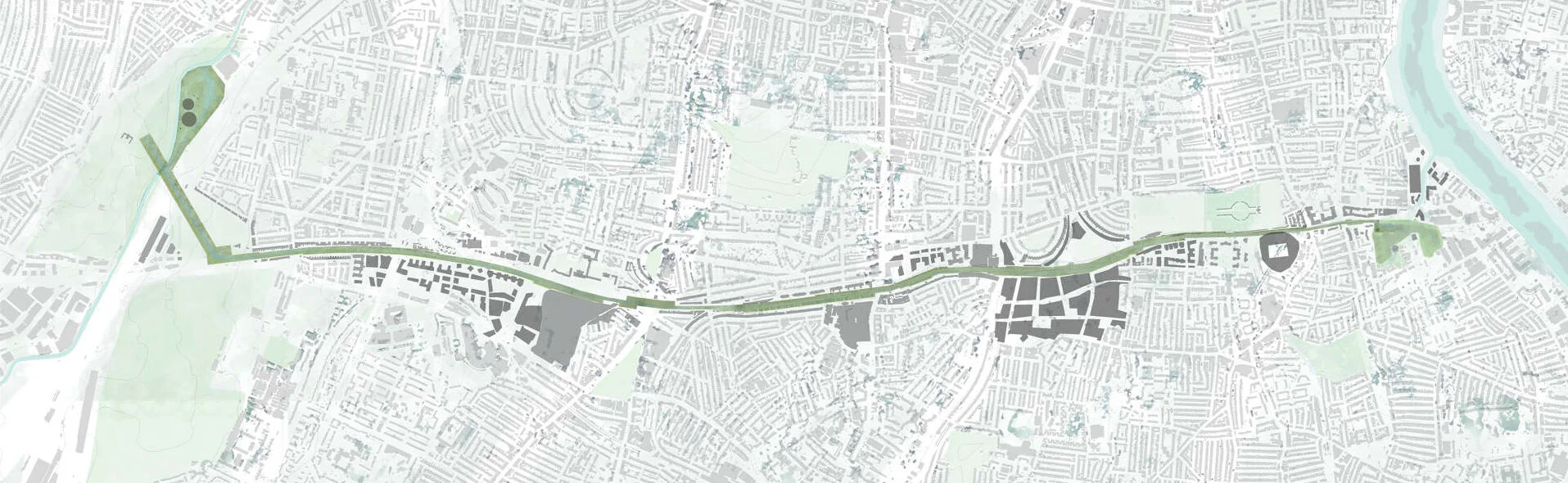
Counters Creek Masterplan

Counters Canal at Olympia
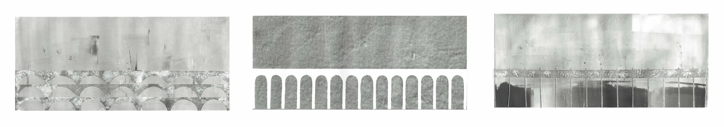
Elevation Print Experiments

Section View of Aquduct at Olympia